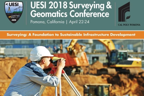
Adjunct Professor Robert Kayen presented the Keynote Lecture at the ASCE Utility Engineering & Surveying Institute (UESI) 2018 Surveying & Geomatics Conference, in Pomona, California, April 22-24. See Program.
Kayen spoke on the "Role of Engineering Geomatics in Extreme-Event Research."
Abstract:
Geosystems civil engineering is an empirically-driven field that relies heavily on observation to validate analytical models used to predict ground failure. Toward that objective, natural disaster rapid-response research has benefited greatly from the advent of terrestrial LIDAR scanning technology (TLS) and Structure-From-Motion (SFM) interpretation of imagery collected using unmanned aerial systems, both revolutionary tools for characterizing fine-scale changes in topography.
For civil engineering research, TLS and SFM have been particularly useful for characterizing the dimensions of failures and for monitoring subtle deformations through time.
This talk will present examples of the use of TLS and SFM in extreme event investigations of damage from earthquakes and hurricanes, and an evaluation of the accuracy, bias and dispersion of TLS and SFM data under controlled experimental conditions.

